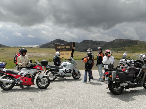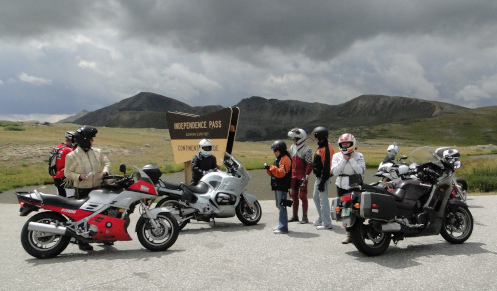
At a pull-out going up Independence Pass.
Day 5 was the last day of our RMMRC 5-day Utah ride. It could have been a quick blast east on I-70 but there was no way we were going to do that. Heck, we were in Basalt, which is right next door to Aspen, which is the gateway to . . . Independence Pass. One of Colorado’s real gems. Which direction do you suppose we went?
We heard from a cabinetmaker staying at our hotel that the morning commute into Aspen is killer. Because no one who does any of the hard work in Aspen can afford to live in Aspen. But either because we started a little later in the morning–9 a.m.–or because it was Saturday, we had no issue with traffic. That’s a win.
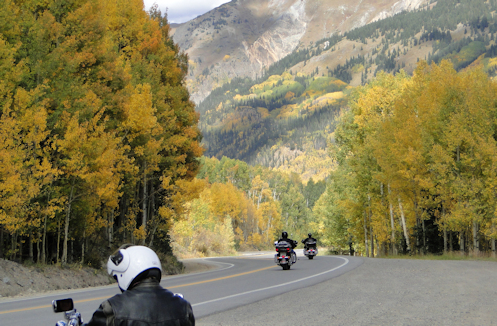
There’s no way in the world they’ll ever be able to build a bypass around Aspen so we had to go right through the middle of town. Not a win, but that’s life. Then we were out in the open, heading up the pass. And there was very little traffic this early in the day. That’s a win.
There are a couple places along the road going up the west side of Independence where it narrows down to one lane. I was riding sweep and as we came around a bend in one of these one-lane stretches I joked on the intercom that we should stop here for a group picture. Gene, in the lead, said OK. I came around the bend then and saw there was a pull-out right there and everyone was pulling in. Had to laugh about that one.
Of course, then as we left the pull-out I forgot to plug my electric vest back in so it was going to be a cold ride up to the summit. Dang. I knew it was totally unsafe to try to plug that thing in while riding but I still considered it. I thought if I secured the the female connector between my leg and the tank that maybe, on a straighter stretch, I might be able to insert the male connector. The opportunity came and I made a feeble attempt but clearly it was not going to work, and I was not willing to risk my life to avoid being cold for half an hour. When we stopped at the top I made absolutely certain to plug in before we headed down.
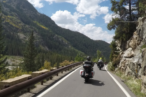
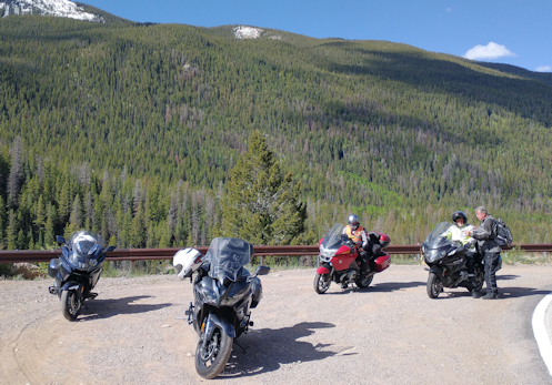
That was a good thing, because on the east side of the pass there was a ferocious wind blowing and that wind was cold! It didn’t really get warm until we were almost to Buena Vista. But oh hey, Independence Pass was its usual gorgeous self. What a nice ride.
We didn’t stop in Buena Vista. Too early for lunch and a couple guys had said they did not plan to do a lunch stop. Usually about the time we get onto US 285 headed back down the hill it’s time for the group to dissolve as the horses head back to the stable. Amazingly, this time that did not happen.
Dave and Lindsay told us as we made our final stop at Johnson Village that they intended to peel off on US 24 at Antero Junction, where you come down the hill into South Park. They did and then Tom and Gene and I stayed together all the rest of the way into town. The two of them finally got separated from me coming across town when I caught a red light they got through. Then it was home and this really good trip came to an end.
Biker Quote for Today
The road is a mirror; it reflects who I truly am.