Just Chill Out
August 18th, 2022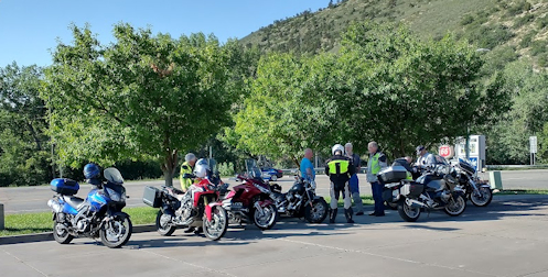
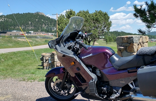
Getting ready to ride in Morrison.
After two days of rain it seems our heat wave has been broken. That meant that Wednesday was a great day for a ride. And there were 13 riders who showed up for the RMMRC excursion who seemed to agree.
Heading out early, I felt it wise to wear a sweatshirt under my mesh jacket. I didn’t regret that, and later in the day I was actually wishing I had an additional layer. That’s how cool it was.
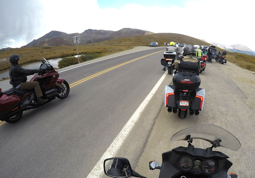
We gathered in Morrison and headed up Bear Creek Canyon to and through Evergreen. At the Evergreen reservoir we left the highway and continued on up the canyon on Upper Bear Creek Road to Witter Gulch Road. Then it was up, up, up till we reached the Squaw Pass road. I had to wonder how some of these new guys were doing on this very technical road as they dropped well out of sight behind me, but everyone made it to the top.
From there we turned east down to Evergreen Parkway and got separated by cars along the way. When those eight of us in front got through the traffic signal, the five behind did not. That might not have mattered but we very quickly then turned off Evergreen Parkway at CR65, which runs northwest to cross I-70 and connect with old U.S. 40 just on the eastern downslope of Floyd Hill. Gray, who was leading, had said he would stop at turns so no one would get lost but he didn’t, nor did anyone else. As the last one in the eight I did stop, but I was afraid I would not be particularly visible as the others came along.
My fear was well founded. They came roaring along and went straight on through the intersection, never even noticing me though I was waving to get their attention. I waited a few minutes to see if they had spotted me at least and would come back but no one showed so I slowly headed along, pulling over a couple times to let cars past me. Finally I sped up to try to catch the others.
The first obvious spot for the main group to wait would have been where CR65 hits U.S. 40 but they weren’t there. I deduced that it was more likely that they were heading up Floyd Hill to drop down on the other side into Clear Creek Canyon and U.S. 6. I headed that direction and there at the top they were pulled over waiting. Gene came back and asked me about the others, then passed that info along. Nothing much to now but keep going and figure they knew the destination.
So down we went into the canyon, to where U.S. 6 branches off from the Peak-to-Peak Highway and there we went toward Black Hawk just a short distance before taking the sharp right turn to take us up Douglas Mountain Drive.
This is a terrific road and now that it’s nearly completely paved, though very roughly at points, it should be a must for anyone out for some fun riding. Up and over the top and then we dropped down into Golden Gate Canyon. We turned east to come out at Golden and then on to our lunch spot. No sign there of the other guys so we went on in and got tables. Then five minutes later there they were.
Turns out, they knew they had lost us so they pulled over to confer. Bruce had a pretty good idea of the planned route so he led and they pretty much followed the same route we did. If we had stopped at some point, even for a few minutes, they probably would have caught up with us. So all was well. And what a great day for a ride! And what a good route.