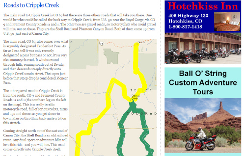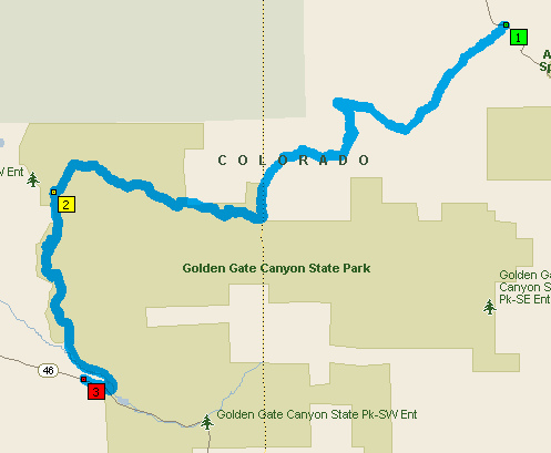
You can’t see the detail with the map zoomed out this far but you won’t have any trouble finding the roads.
Don’t you love it when you find new roads to ride? Of course you do. So do I.
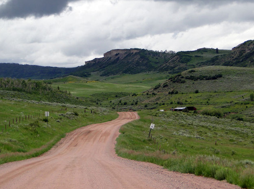
Well, this one does require that you be willing to do a little gravel but it’s good gravel. Heck, I’ve even ridden my Concours, which notoriously hates gravel, on part of this stretch once before. But no question it’s better with the V-Strom.
Judy and I wanted to get up in the hills away from the heat the other day and we headed up Golden Gate Canyon Road out of Golden. There’s a point where you come on a small lake or pond–Kriley Pond–just a short ways before you get up to the Peak-to-Peak. Immediately past the pond you’ll see a dirt road going off to the north. Take it.
This is Mountain Base Road and it takes you along the western edge of Golden Gate Canyon State Park, just inside the park. This segment is just 3.5 miles to where you hit County Road 2, also called the Gap Road. Turn right onto Gap Road.
One of the first things you’ll come to on Gap Road is Panorama Point. This is a high spot where the view is expansive, and there’s a viewing structure as well as toilets here. Be advised that you are in the park and while there is no park fee for using the roads, if you stop you are technically required to get a day pass, for $10. So use your own discretion if you choose to stop.
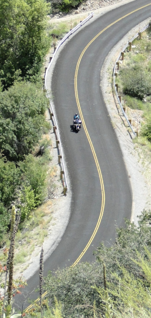
Heading east on Gap Road it only stays gravel for a couple more miles and you hit pavement. And where do you suppose this pavement brings you out? In Coal Creek Canyon. Who knew there was a road connecting Golden Gate Canyon and Coal Creek Canyon? I sure didn’t. And It’s a really nice road, very scenic, very pretty. Also very twisty.
The total distance is only 11.8 miles, of which roughly half is very good gravel, the rest excellent asphalt. Not a big deal but hey, when you’ve ridden pretty much every road in the area multiple times it’s really nice to find something new.
Biker Quote for Today
An intellectual is a man who doesn’t know how to park a motorcycle.