Motorcycle Pix With GoPro
February 25th, 2021I use a photograph with every one of these posts, and I almost never use the same photo twice. That means that every time I go out I’m shooting more–I burn through a lot of them.
A lot of the time, in order to get shots of bikes on the road, I carry my camera strapped around my neck and when the situation permits I’ll pull it up and fire off a few shots as I ride. Thank you auto-focus and auto-exposure for making this possible. But this practice is not without risks. Some people–maybe you!–would say it’s stupid and dangerous.
Besides the risk, however high or low it is, there are limitations because often just when I’d like to take a shot or two I really need both my hands on the grips and my eyes on the road. I miss an awful lot of good pictures for that reason.
Enter the GoPro camera. This thing is designed to be mounted and either turned on to shoot photos or video or else to be triggered manually with a remote device. Judy gave me this camera for Christmas several years ago and other than taking a ride over Guanella Pass with it recording, and up and down the Lookout Mountain road, I really haven’t used it.
Quite some time ago I decided it was time to use it. I keep a to-do list and it has been on the list for months. This week I finally checked it off the list.
The GoPro is a pretty cool little device but I had found that shooting video of riding a motorcycle is just not that exciting. Maybe if I was racing at 150 mph around a track with other bikes alongside and in front, but I don’t do those things. So I concluded my best use for it would be to shoot individual photos using the remote. Stick it in the mount on top of my helmet, look at what I want to shoot, and press the button.
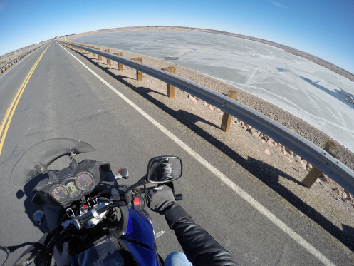
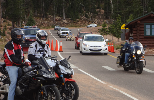
The thing with the camera is that it shoots in super wide view and has incredible resolution. It’s almost a fish-eye lens, so the horizon arcs and things get distorted the further you get from the middle of the image. So if all I want is shots of some guys on bikes ahead of me on the road, they come in sharp and I just crop out 90 percent of the image. Plus, even at full magnification the resolution is not at all bad, although it gives sort of an artsy, posterized image.
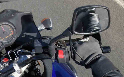
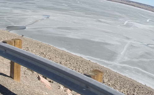
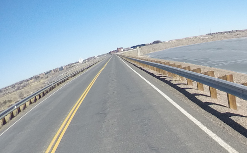
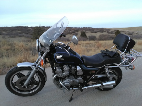
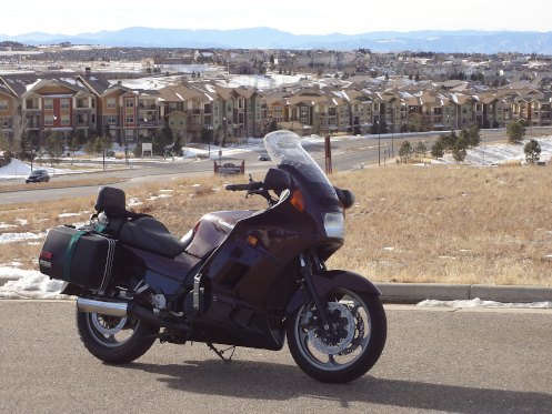
And then here’s the kicker. All of these shots above were taken from one photo, the one below. I was looking a bit off to the right but the ultra wide lens got half of the world around me. I think I’ll be using this camera more in the future.
Biker Quote for Today
You know you’re a biker if your best friends are named after reptiles.
